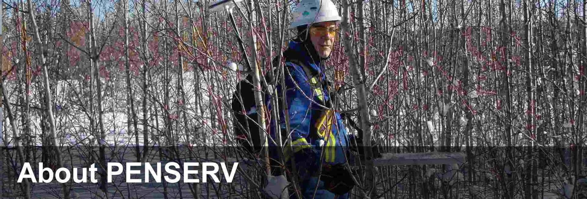
PENSERV is now operated as a sole proprietorship by Dave Paton, P.Geo. Mr. Paton is registered as a Professional Geoscientist in Alberta and Saskatchewan. He has been conducting EM surveys since 1996, previously as PENSERV CORP.
PENSERV currently conducts EM surveys for soil impact assessment. Horizontal surveys are conducted using a multifrequency GEM 2 EM sensor, which can be carried manually or is mounted on a fiberglass sled and towed behind an ATV. The sled is outfitted with a real time GPS for positional accuracy of about 60 cm. EM and GPS data are integrated into a data collector and are used to create maps of soil salinity delineating the horizontal extent of impact. Environmental consultants and resource companies would use this type of information to determine the extent of spatial impact from a saltwater spill or runoff from an oilfield lease or industrial facility. The surrounding land is commonly used for agricultural purposes and soil salinity, from whatever source, reduces the capability of the soil to sustain the same range of land use that existed prior to impact.
PENSERV operates in Alberta and Saskatchewan, primarily in open prairie landscapes, pasture land and cultivated fields, but also in forested areas. The majority of the work occurs in central and eastern Alberta.

